
Jun
14
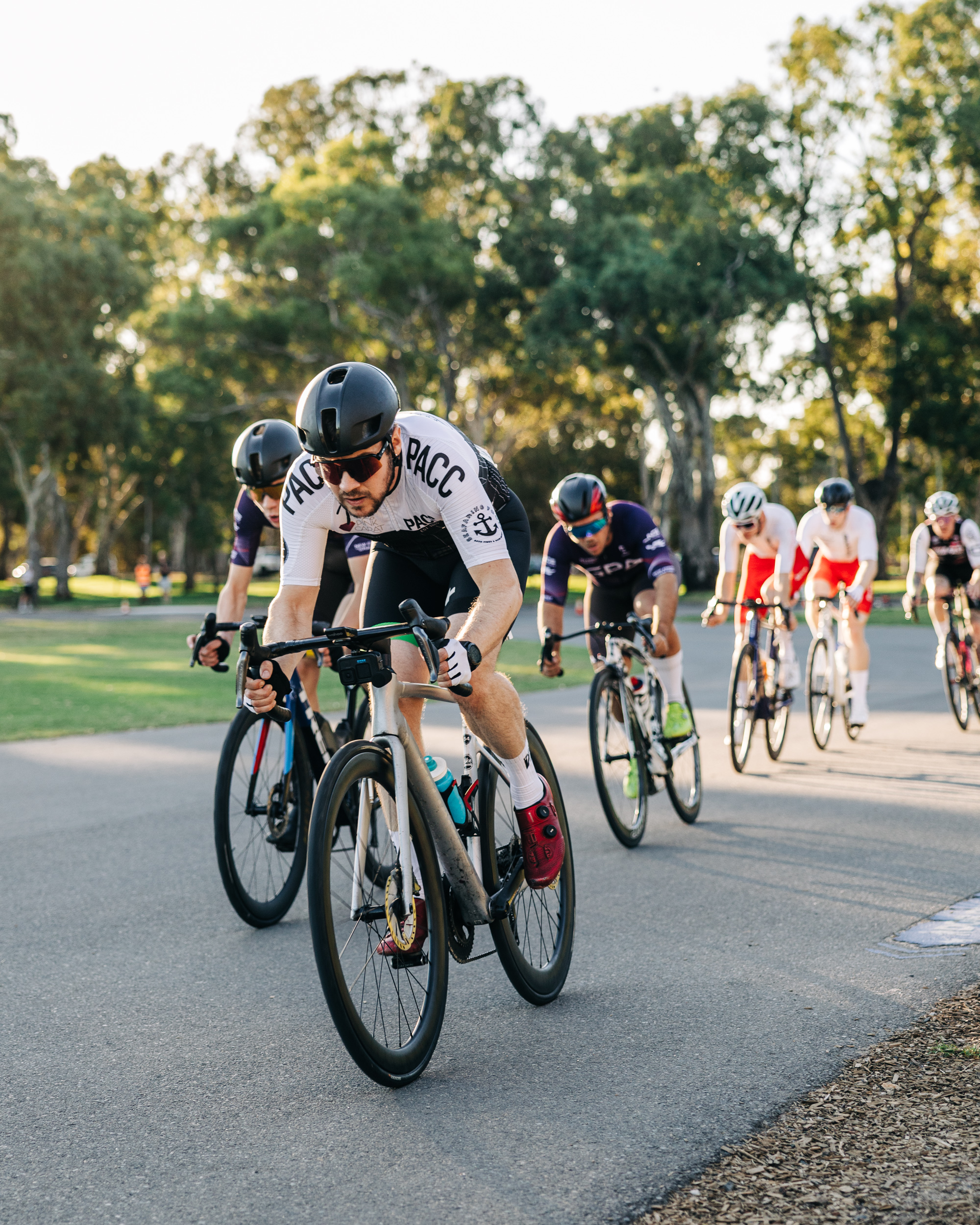

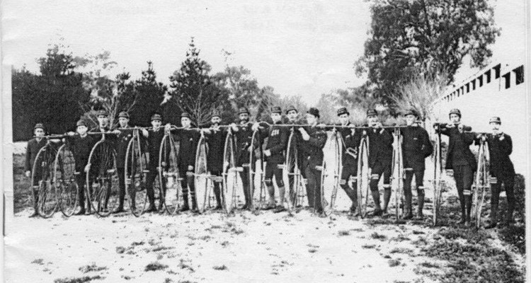
Port Adelaide Cycling Club (PACC) was established in 1885 and has faithfully and proudly served the Adelaide cycling community for over 130 years

Jun
14
Jul
5
Jul
26

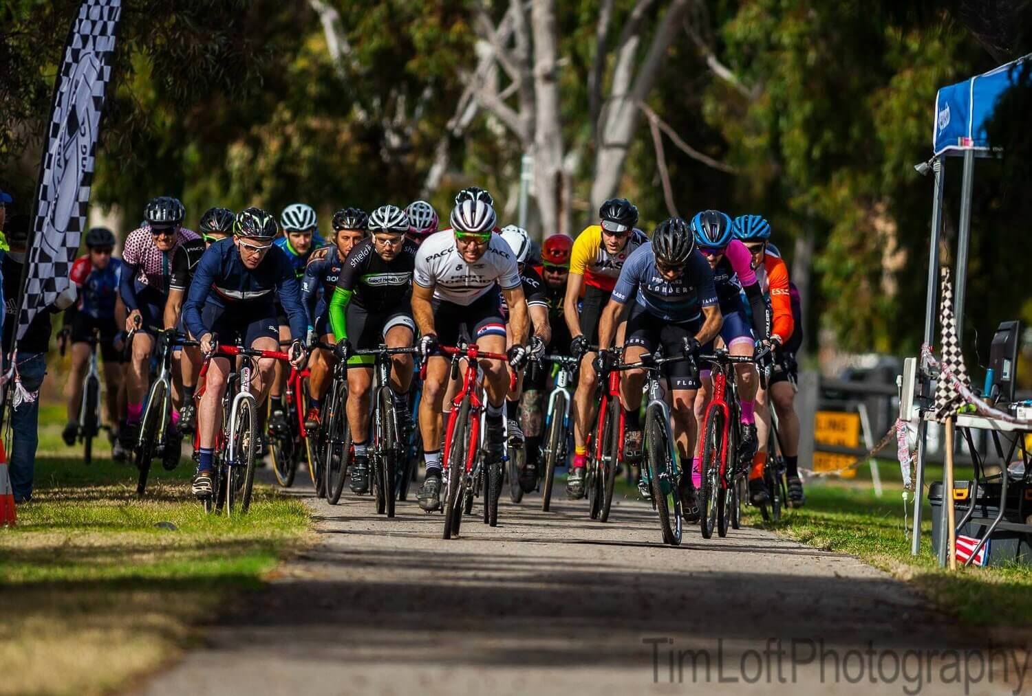
With thanks to Adelaide Hills Cycling Club, Round 3 of the PACC Club Championship Series was run at the Terlinga Road Race. This course has one major climb, which really isn't long enough for the pure climbers to drop the strong rolleurs, and the course favoured tactical racing. Although the rain came down during the race, everyone stayed safe, and we were thrilled with a strong PACC contingent starting and finishing the race.

With thanks to Norwood Cycling Club, Round 2 of the PACC Club Championship Series was run at a Tuesday Night Criterium last night.

Round 1 of the PACC Club Championship Series is complete, with 10 PACC riders taking the start line of the Zero Friction Cycling Time Trial on 8 Feb 2026.
PACC gives notice of the 2026 Annual General Meeting to be held on Wednesday 20 May 2026 at 6:30pm, at The Golden Wattle, Pirie Street Adelaide.

Port Adelaide Cycling Club members will have received notice from AusCycling of a Special General Meeting to be held on 23 April 2026, calling for the removal of the AusCycling Chair Craig Bingham.
